

Research > Archaeological Fieldwork > International excavations > Italian Archaeological Expedition to Nigin, Iraq
Director: Davide Nadali
External links:
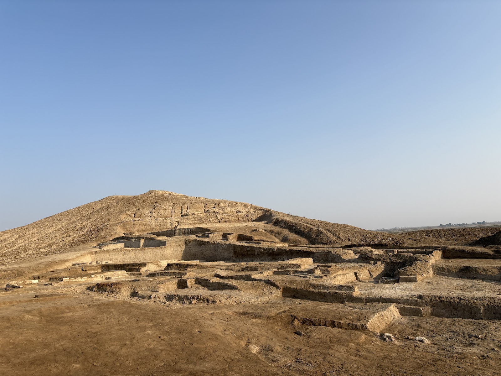
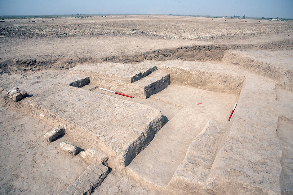
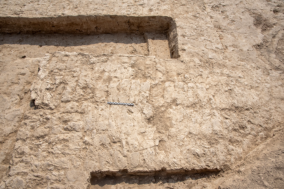
The project aims to investigate the urban layout and the contextual liminal environment of the ancient Sumerian city of Nigin (modern Tell Zurghul) in the 3rd Millennium BCE with an interdisciplinary approach. The research proposes a combined archaeological and geomorphological study to investigate the city formation dynamics, the identification and the relationships between different city zones, and the adaptive urban planning solutions conditioned/favoured by the environment. (Fig. 1).
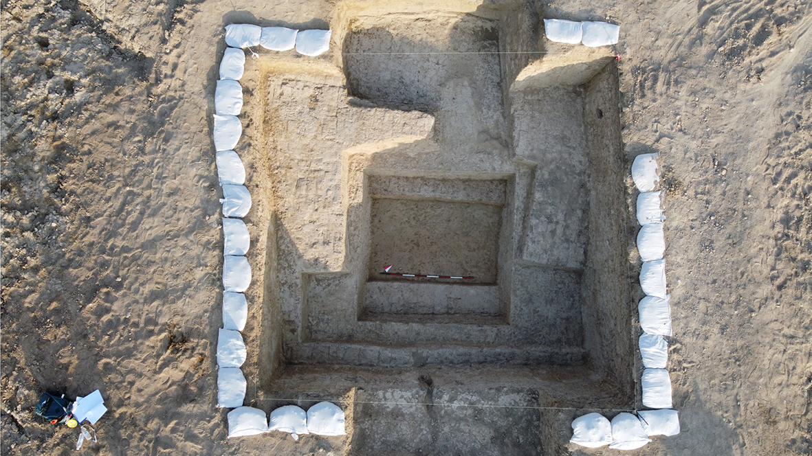
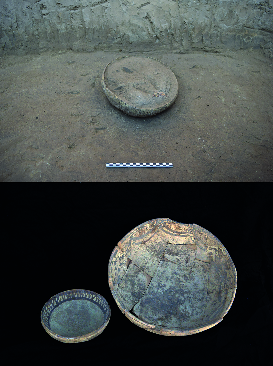
Since 2014, MAIN (Missione Archeologica Italiana a Nigin; PI: Davide Nadali; field director: Luca Volpi) is carrying out continuous excavation campaigns at the site of Tell Zurghul/Nigin, 7 km SE of Tell al-Hiba/Lagash, in the Dhi Qar province of southern Iraq. The excavations have specified the timespan of the settlement occupation, which was uninterruptedly occupied from mid-5th to the end of the 3rd millennium BCE, when the city was destroyed and never extensively re-occupied. The city was part of the State of Lagash, a political organisation in the mid/late 3rd millennium BCE.
The Lagash State region is located in a liminal environment: in the mid-5th millennium, Tell Zurghul/Nigin was in an area completely covered by water, with the occupation confined to small emerging hills (named as “turtleback” settlements in current archaeological literature). This environment was the result of the marine ingression from the Gulf, together with the ancient presence of the Tigris river in the vicinity of the site, thus contributing to create a marsh area.
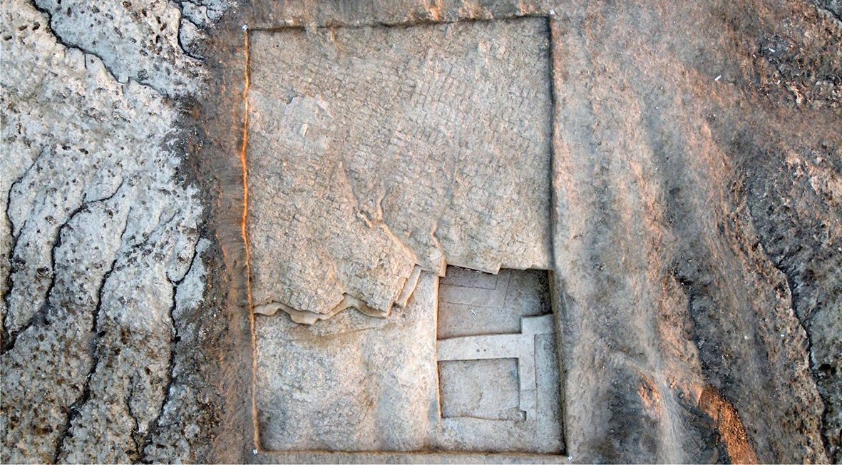
Starting from the end of 4th and during the 3rd millennium BCE, the environment changed, and anthropic activities were finalised to transform the landscape and to regulate and exploit the still-present water. Particularly in the 3rd millennium BCE, these actions resulted in the excavation of artificial canals and the construction of hydraulic infrastructures (i.e., drains), favouring the growth of the city and the occupation of flat areas that were first covered by water.
Collaborators:
- Luca Volpi (Field director);
- Lorenzo Verderame (epigrafista);
- Licia De Vito (archeologa ed esperta di progetti di restauro);
- Francesco Troiani (geomorfologo);
- Andrea Discepoli (archeologo dottorando)
- Bibliography
THE THIRD MILLENNIUM B.C.E. POTTERY SEQUENCE OF SOUTHERN MESOPOTAMIA: POTTERY CHRONOLOGY AS SEEN FROM TELL ZURGHUL/NIGIN, MOUND A
2024 - Nadali, Davide; Volpi, Luca
In: IRAQ, 2024 - ISSN: 0021-0889 - doi: 10.1017/irq.2024.13; Fragments of the Third Millennium BC from Nigin
2021 - Nadali, Davide; Verderame, Lorenzo
In: IRAQ, 2021, Vol. 83, Iss. 83, pp. 1-14 - ISSN: 0021-0889 - doi: 10.1017/irq.2021.10; Geomorphology of the lower Mesopotamian plain at Tell Zurghul archaeological site
2023 - Iacobucci, G.; Troiani, F.; Milli, S.; Nadali, D.
In: JOURNAL OF MAPS, Taylor & Francis, 2023, Vol. 19, Iss. 1 - ISSN: 1744-5647 - doi: 10.1080/17445647.2022.2112772; Licia De Vito, Davide Nadali, Luca Volpi, 2025, Scavi e ricerche a Tell Zurghul, l’antica Nigin, in Iraq: formazione e sviluppo di un centro urbano della Mesopotamia meridionale dal V al III millennio a.C., Scienze dell’Antichità 31.1 (2025), pp. 37-57.
Further details about this research:
- Research type: International excavation
- Location of the excavation: Iraq
- Research topic: Archeologia dell'Asia occidentale antica
- Fundings: Sapienza Università di Roma; MAECI
| Image gallery | ||
|---|---|---|
 |  |  |
 |  | |